Adventure trip Aconcagua

The most beautiful route from Plaza Argentina to Plaza de Mulas
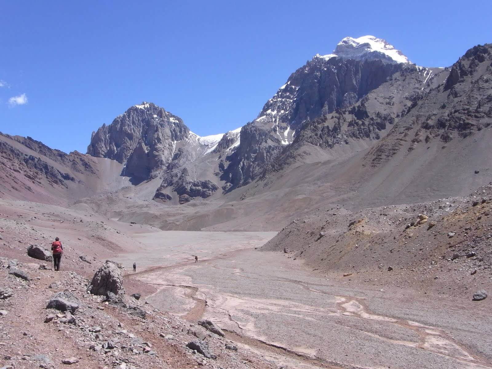
At 6963 meters, Cerro Aconcagua between Santiago de Chile and Mendoza in Argentina is the highest mountain on the American continent. It was first climbed on January 14, 1897 by Matthias Zurbriggen from Saas-Fee/ VS. Due to its location near the equator and the atmospheric pressure – 40 percent higher at the summit than at sea level – the mountain is comparable to a low 8,000-metre peak in terms of physical fitness. More than 30 routes lead to the summit. We tried our hand at the 360° Aconcagua route.
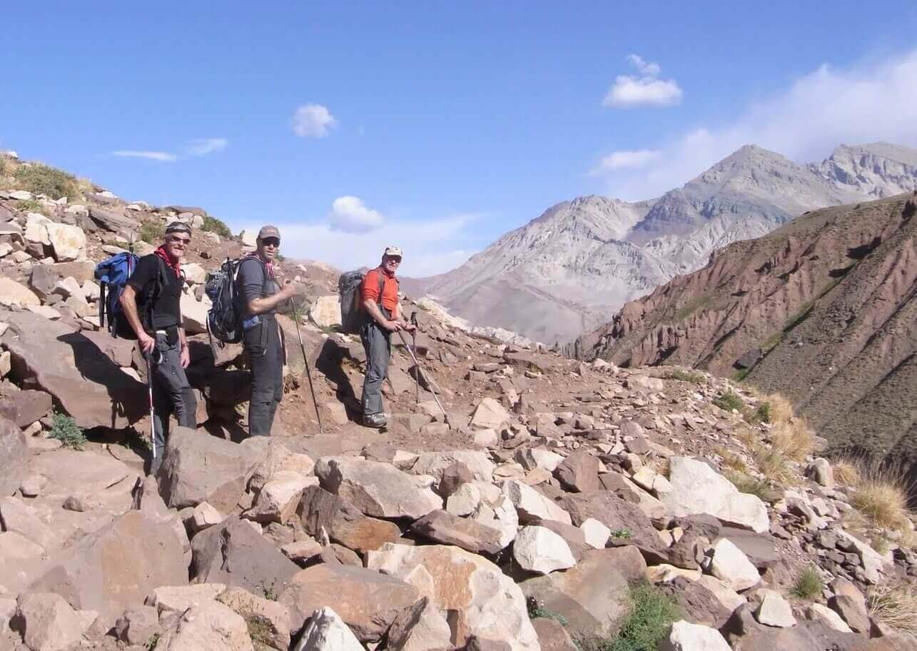
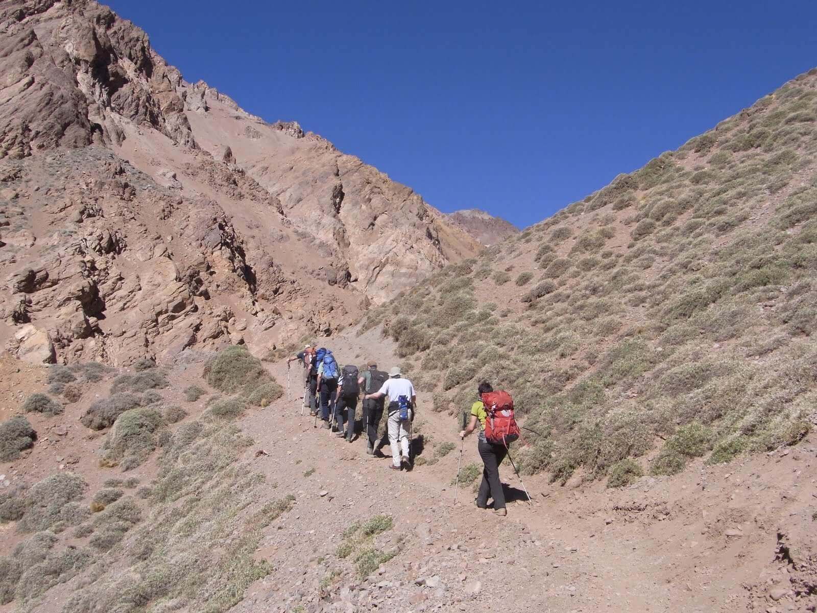
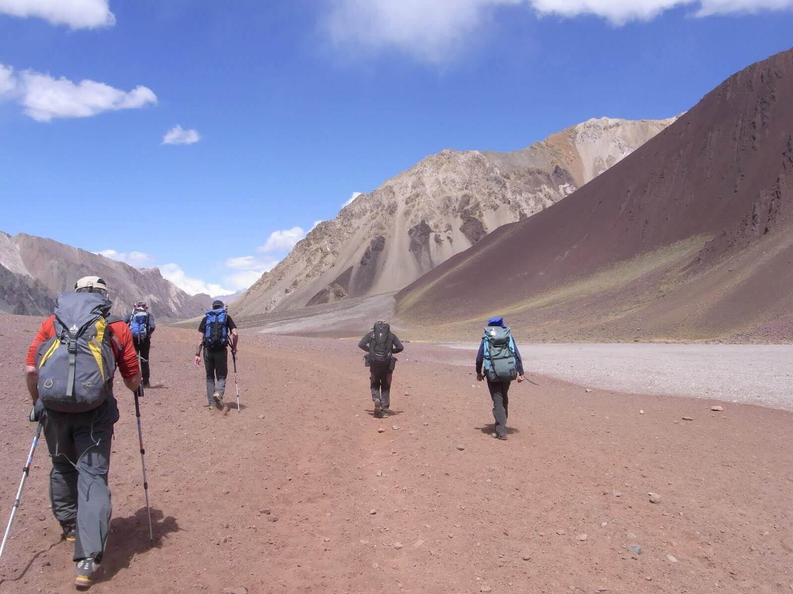
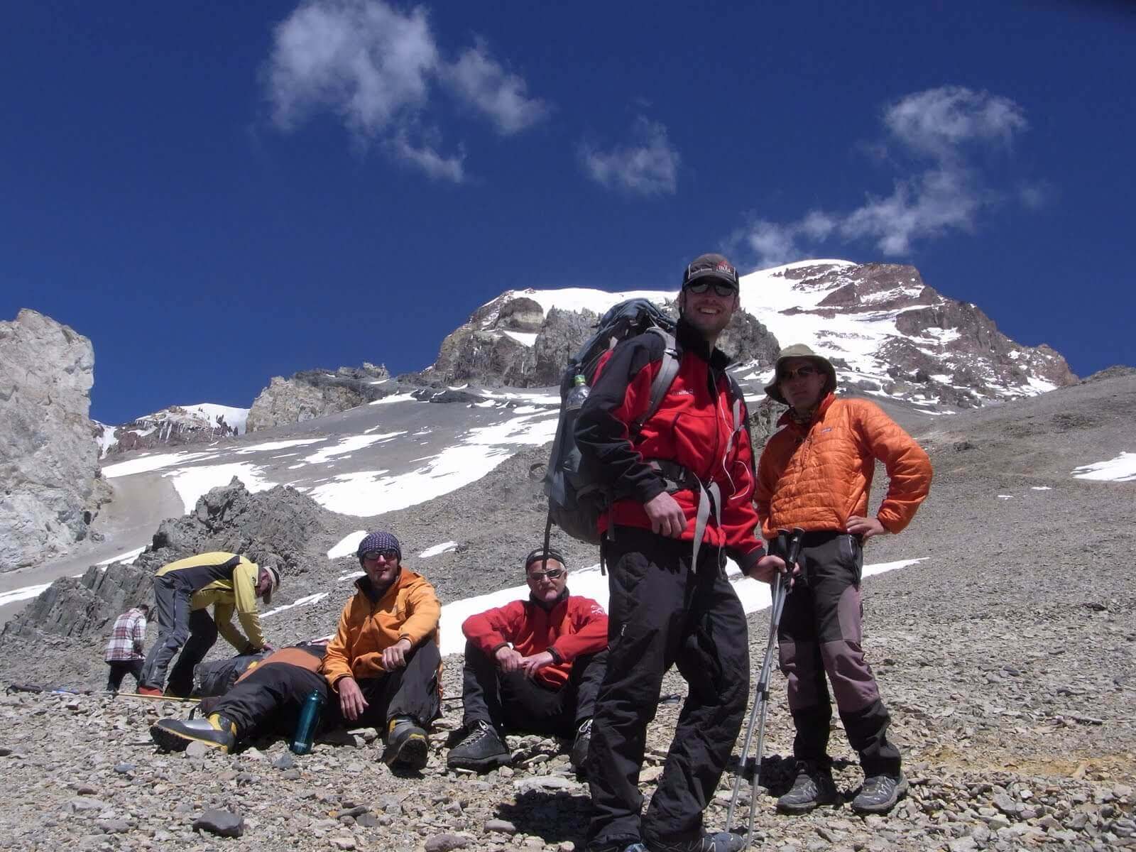
Our group started in the wine city of Mendoza, in the east of the country. We took the bus to Punta de Vacas, a small village on the Paso de la Cumbre, the pass between Argentina and Chile. It took three days to walk from there, along the Rio de las Vacas and the Relincho Canyon, to the Plaza Argentina base camp at 4,200 meters above sea level.
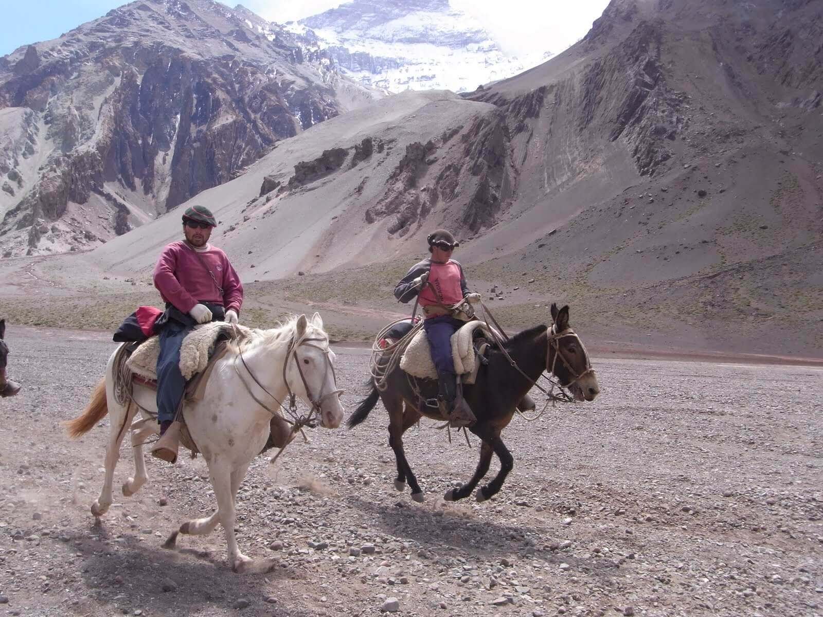
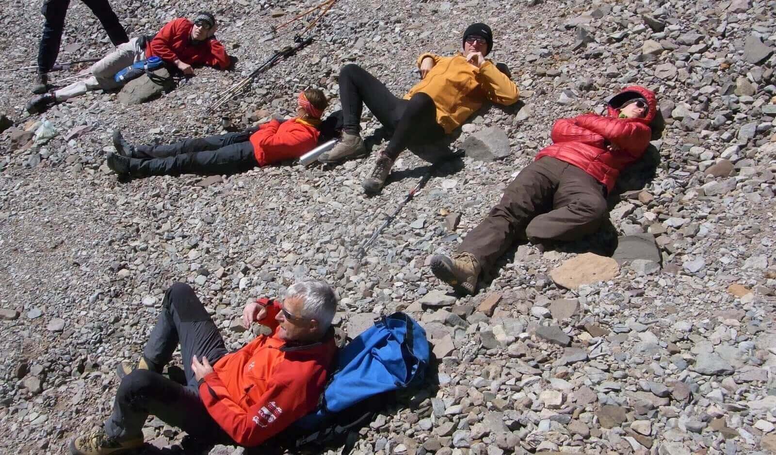
We loaded the expedition equipment onto mules, from the tent to the food to the mountaineering equipment. With a light rucksack on my back, I climbed steadily – almost seven hours a day. Acclimatization was on the agenda at the Plaza Argentina base camp. Every mountaineer must be declared healthy by the base camp doctor in order to officially attempt the ascent of the 6963-meter-high Aconcagua.
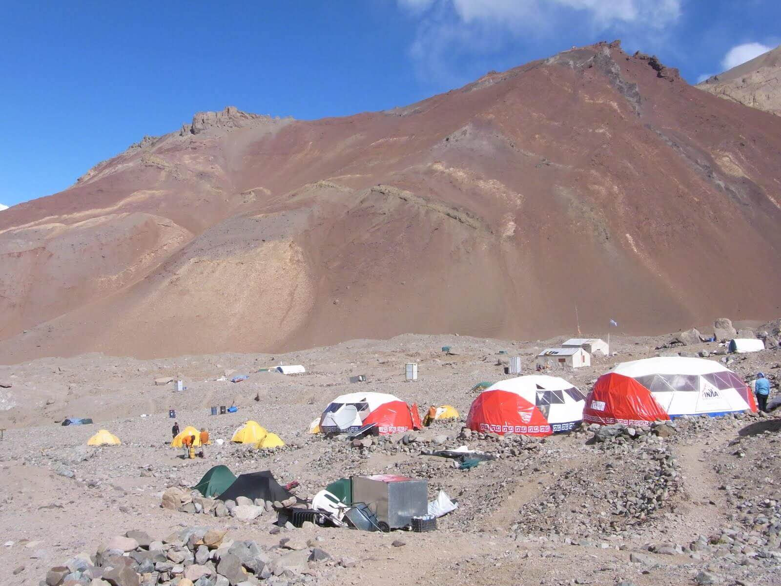
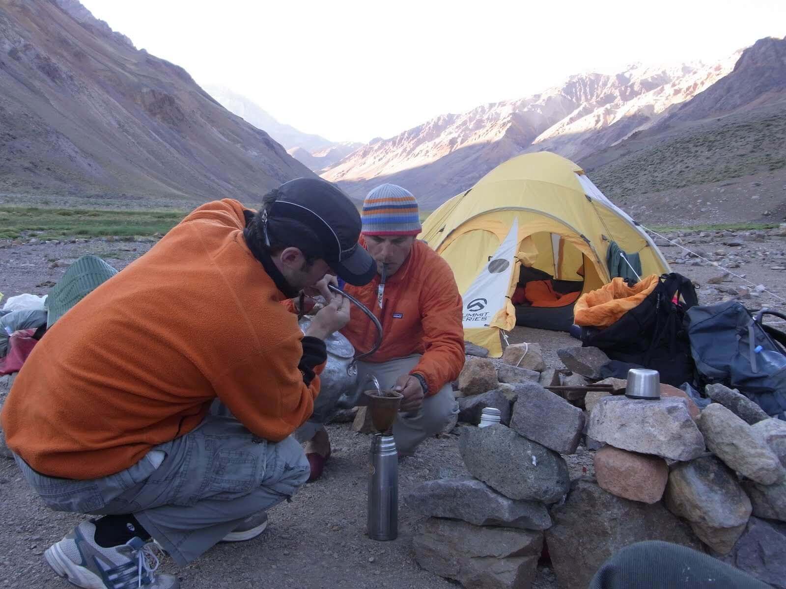
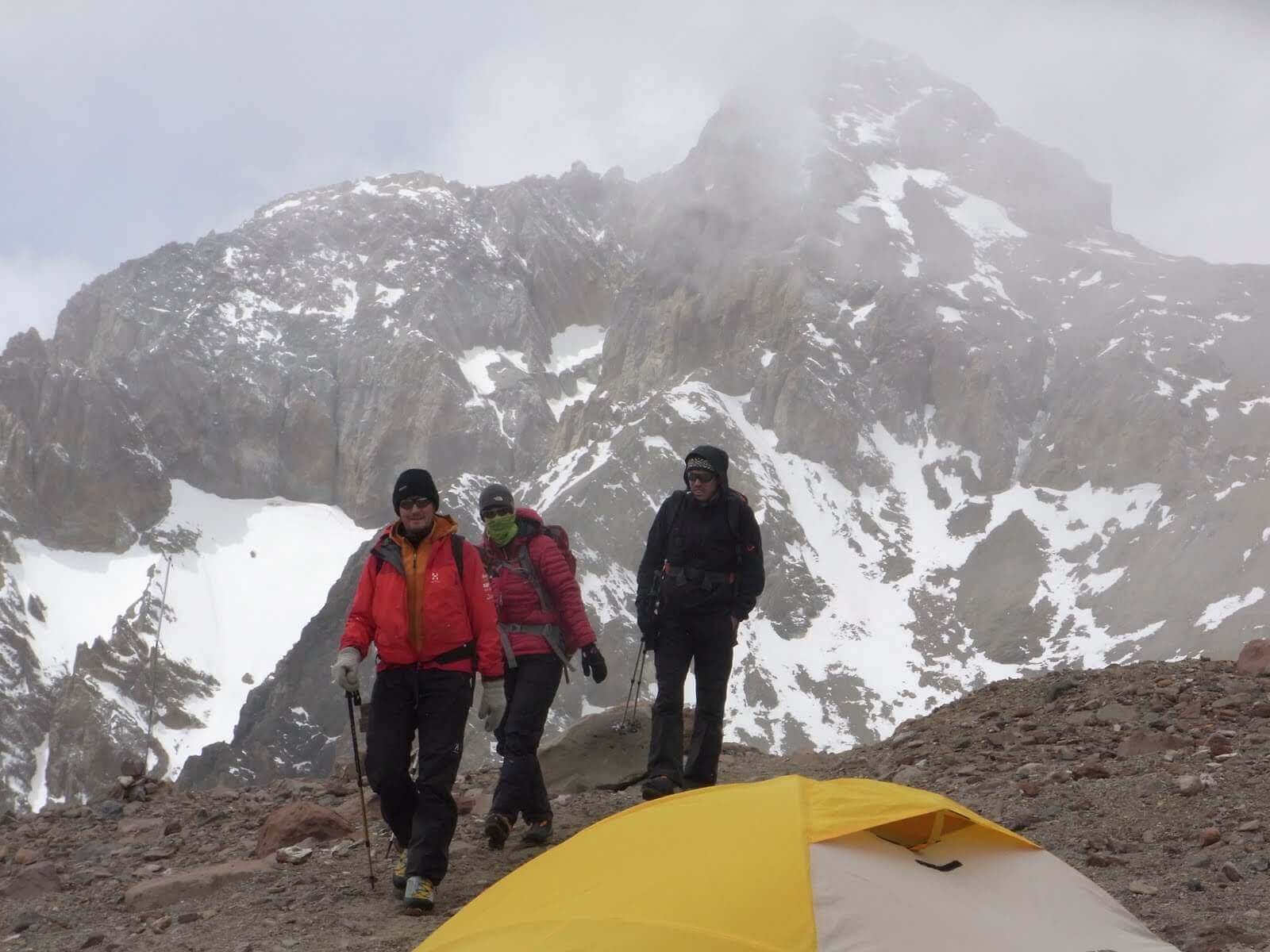
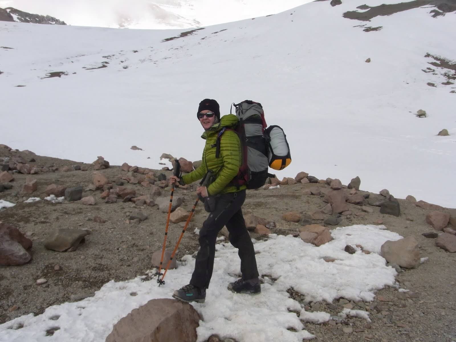
From the base camp we climbed up a scree slope to high camp 1. Then we continued steeply uphill to Camp 2 – Guanacos and then to Cholera, the last camp before the summit day at 6000 meters above sea level. The night before the summit attempt was short: the tent was frozen. All warm clothes, shoes and thermos flasks packed in the sleeping bag!
The 11 headlamps move slowly up the mountain, through the night, slowly into the day, step by step. As Venus slowly fades in the morning light, the sun pushes the new day over us and the Aconcagua.
The snow gets harder, the crampons are put on. Hard work at this altitude. Then it continues step by step, slowly, for two hours until the first short break. A longer one follows after three hours at 6,300 meters. Now one more steep slope, then the home stretch for the last stop before the final ascent. The path is not steep, but long, winding, ascending, far above sea level. A partly icy path on a steep slope. A potentially more than 2,000 m long slide down to Base Camp Plaza de Mulas. We stay on the path. Climb slowly higher and higher. Step by step. There is a one-minute break every five minutes. After 7.5 hours we reach the overhanging rock at 6,700 m, the last resting place before the summit ascent.
The sun is slowly covered by clouds, snowflakes dance. The longer the more and the longer the wilder. After so much weather luck, we don’t allow ourselves to be distracted, nestling between the rocks, trying to relax and regain our strength. After half an hour, the ascent to the summit begins.
The last 400 vertical meters await: The dreaded Canaletta, a very steep scree slope that has been an insurmountable obstacle for many on the Aconcagua. Snow-covered and frozen, the Canaletta lends itself almost graciously to walking with crampons.
The clock shows half past three in the afternoon as we kneel on the roof of America in front of the summit cross and sing the Valais anthem.